Administrative Boundaries
-
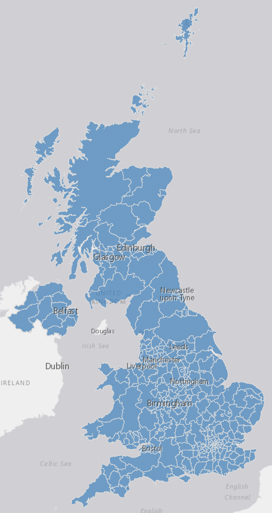
Counties and Unitary Authorities Boundaries - UK
This file contains the digital vector boundaries for Counties and Unitary Authorities, in the United Kingdom, as at May 2023. The boundaries available are: (BGC) Generalised... -
Local Authority Districts - UK
This file contains the digital vector boundaries for Local Authority Districts, in the United Kingdom, as at May 2024. The boundaries available are: (BFE) Full resolution -...
DataMapWales
DataMapWales serves as a source for public sector data in Wales, providing a shared data platform to members of the...
-
World Heritage Sites - Wales
1.1 Background World Heritage Sites are places that the World Heritage Committee of UNESCO has inscribed on a list of international sites because of their outstanding universal... -
Areas of Outstanding Natural Beauty - Wales
This spatial dataset contains the digital boundaries of all Areas of Outstanding Natural Beauty (AONBs) in Wales. AONBs are established under the Countryside Act of 1949, but...